
Filter · stored fields only
T2 hikes in Uttarakhand
2–3 days. permit-free. SAC is the grade on the record. Duration is typicalDays. Permit-free means permit.required is false on this desk — not a promise that no local fee exists.
SAC T2 (mapped — no official SAC grade) · YDS 1
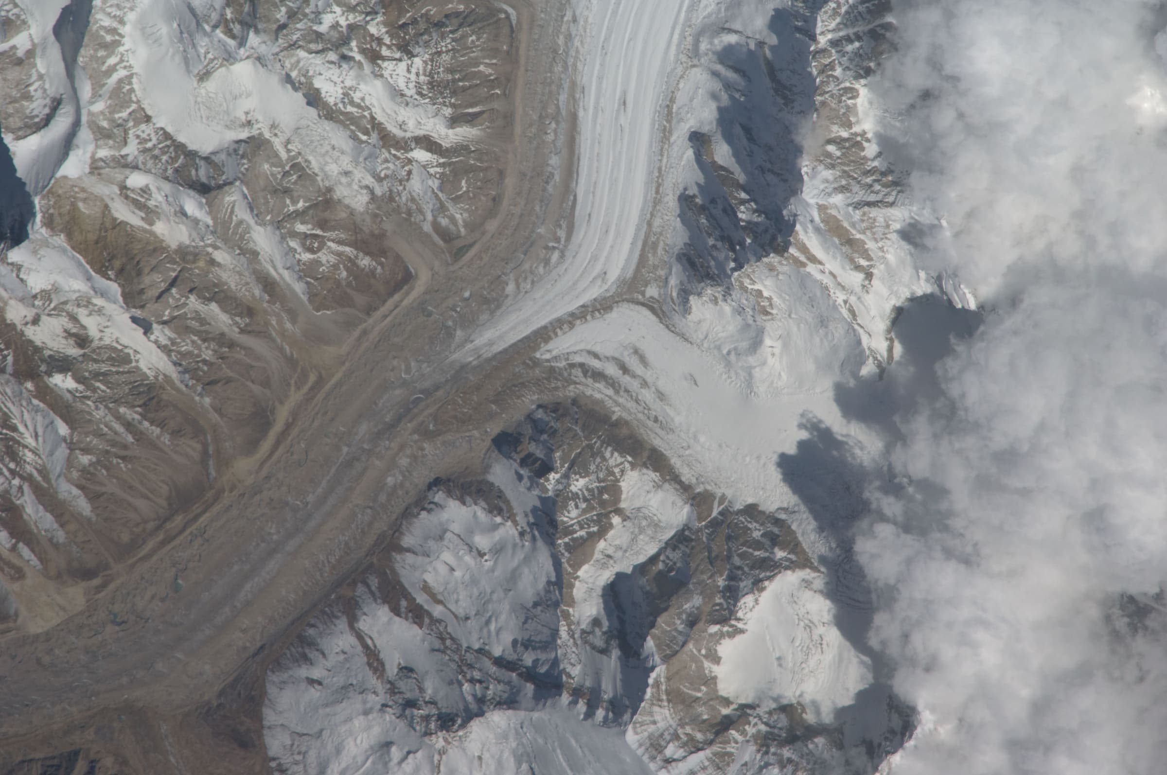
Dar to Sipu
OSM hiking segment Dar to Sipu, Uttarakhand (38.24 km line). Village-to-village path; no cited itinerary. Vertical figures from the Wave I-1 GLO-30 resample. Days unknown.
38.24 km · 3 days
SAC T2 (mapped — no official SAC grade) · YDS 1
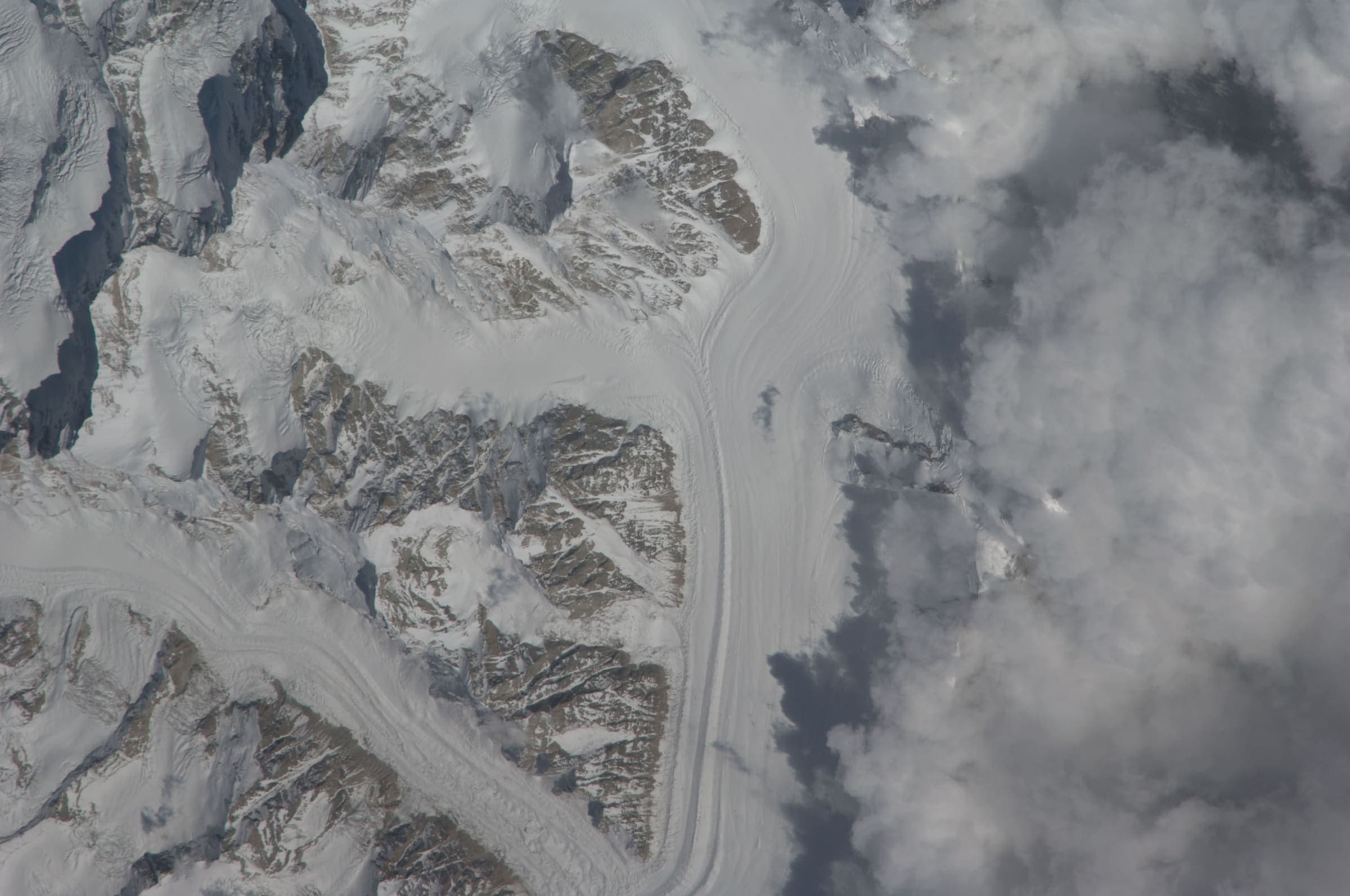
Dayara Bugyal
OSM hiking route around Dayara Bugyal, Uttarakhand (28.34 km line), Barsu–Raithal meadow network. DEM high is above the cited meadow elevation. Vertical figures from the Wave I-1 GLO-30 resample. Days unknown.
28.34 km · 2 days
SAC T2 (mapped — no official SAC grade) · YDS 1
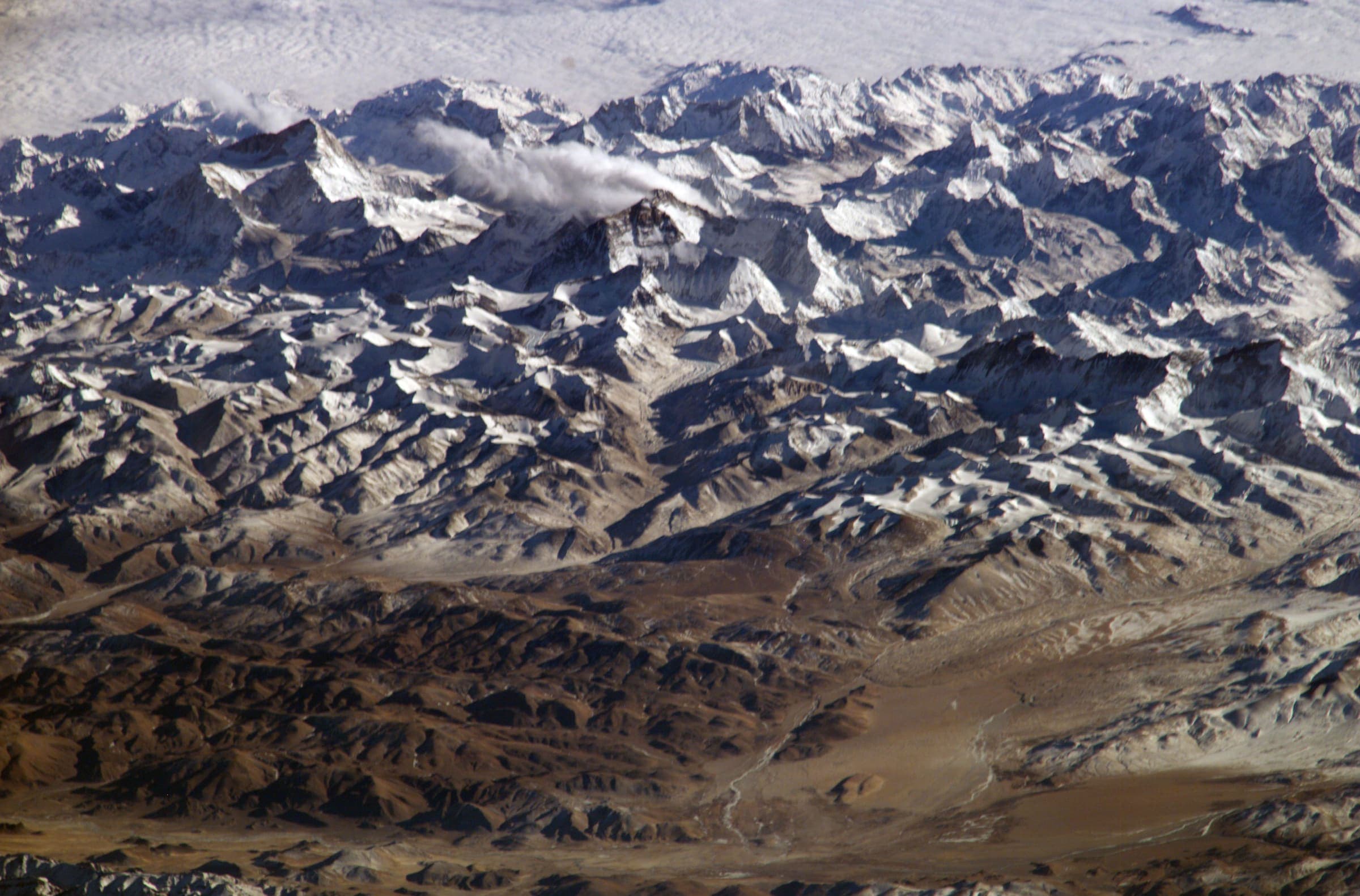
Ghat to Durmi
OSM hiking segment Ghat to Durmi, Uttarakhand (34.52 km line). Village-to-village path; no cited itinerary. Vertical figures from the Wave I-1 GLO-30 resample. Days unknown.
34.52 km · 3 days
SAC T2 (mapped — no official SAC grade) · YDS 1
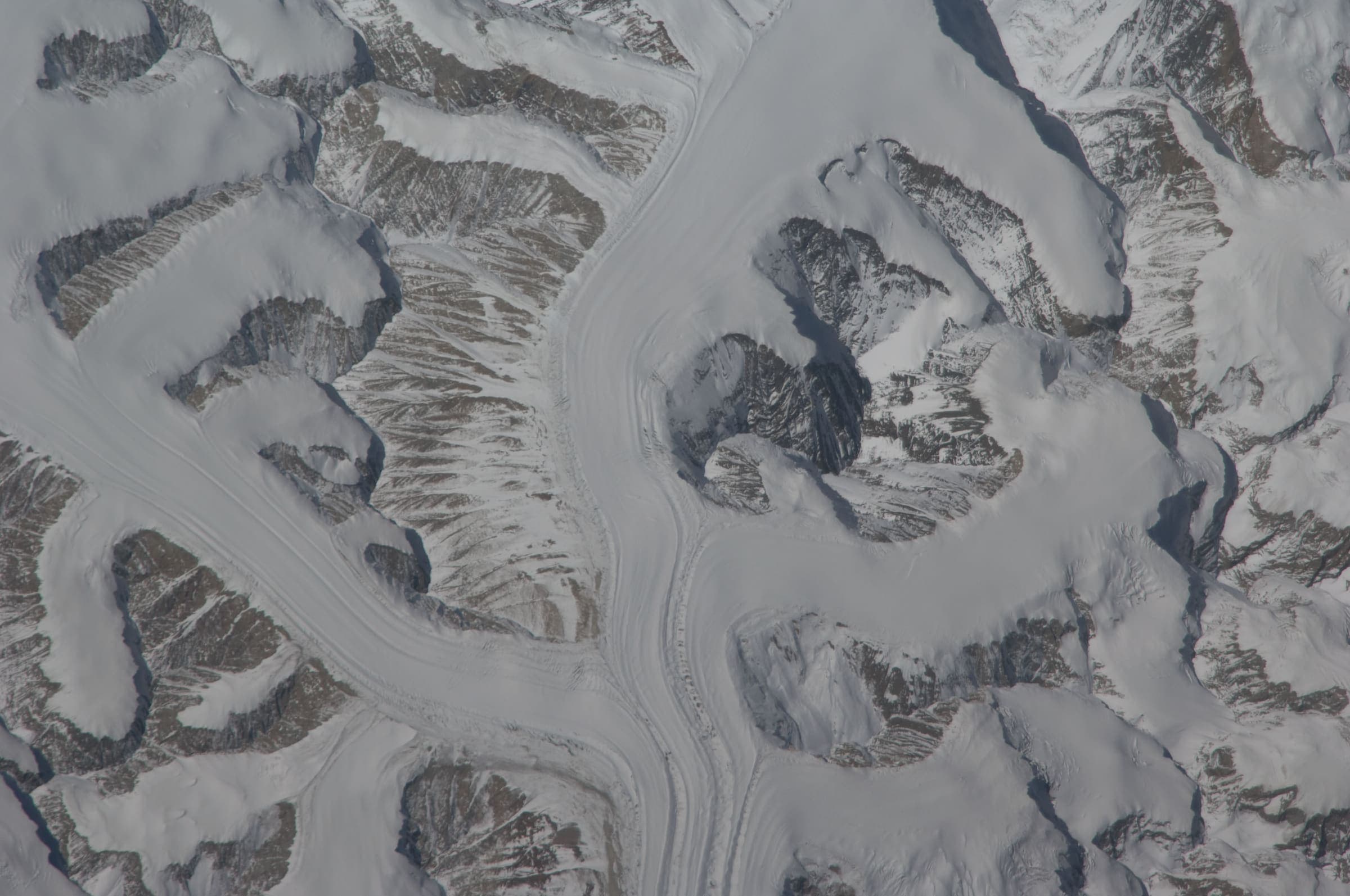
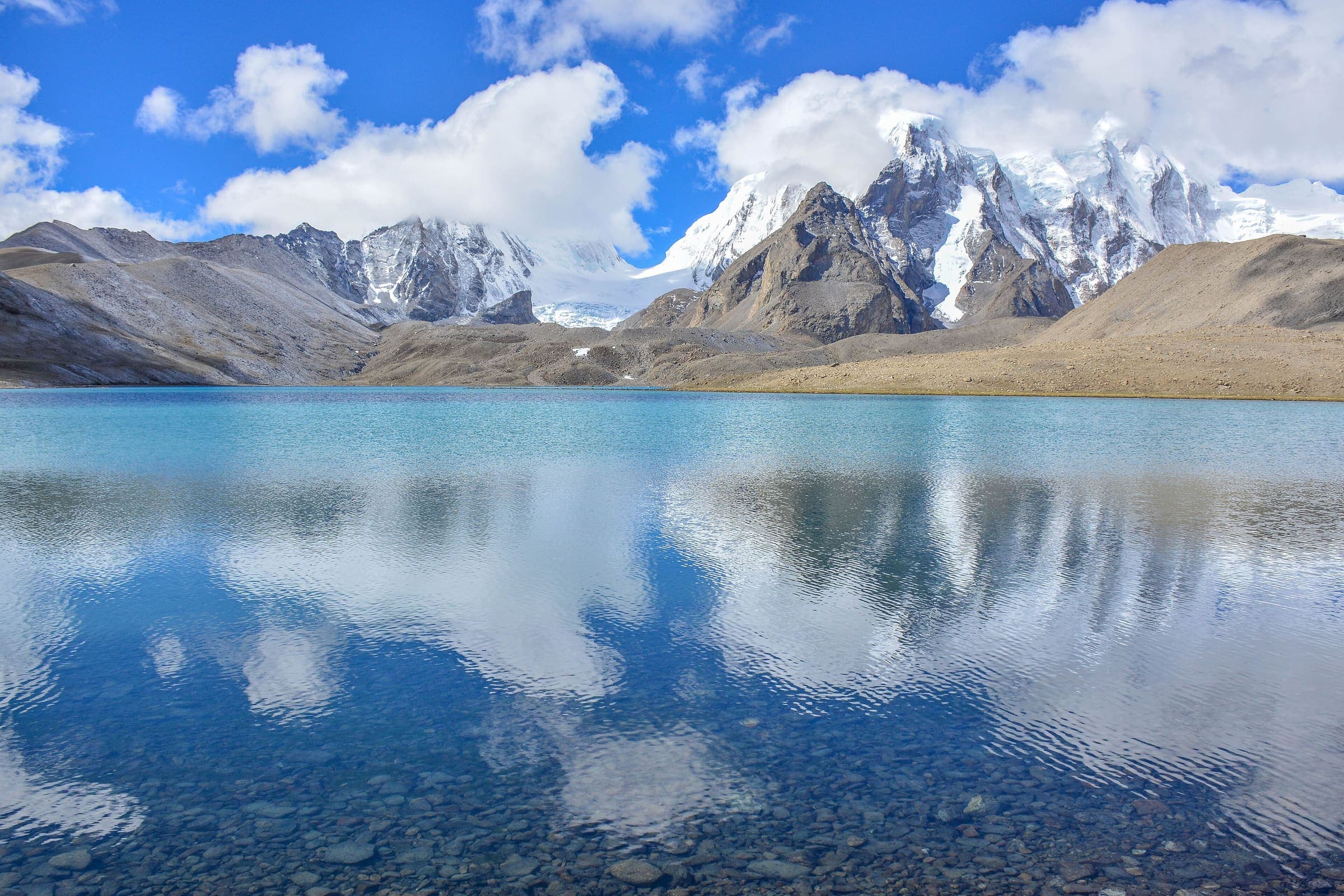
Kankul Pass Trail
OSM hiking segment Kankul Pass Trail, Uttarakhand (28.85 km line). Village-to-village path; no cited itinerary. Vertical figures from the Wave I-1 GLO-30 resample. Days unknown.
28.85 km · 2 days
SAC T2 (mapped — no official SAC grade) · YDS 1
Kharkiya to Kheta
OSM hiking segment Kharkiya to Kheta, Uttarakhand (29.5 km line). Village-to-village path; no cited itinerary. Vertical figures from the Wave I-1 GLO-30 resample. Days unknown.
29.5 km · 2 days
SAC T2 (mapped — no official SAC grade) · YDS 1
Mahargaon to Loharkhet
OSM hiking segment Mahargaon to Loharkhet, Uttarakhand (33.23 km line). Village-to-village path; no cited itinerary. Vertical figures from the Wave I-1 GLO-30 resample. Days unknown.
33.23 km · 3 days
SAC T2 (mapped — no official SAC grade) · YDS 1
Narayn Bagar to Sera
OSM hiking segment Narayn Bagar to Sera, Uttarakhand (30.49 km line). Village-to-village path; no cited itinerary. Vertical figures from the Wave I-1 GLO-30 resample. Days unknown.
30.49 km · 3 days
OSM sac_scale: mountain_hiking · SAC T2 · YDS 1
Pana to Joshimath
OSM hiking segment Pana to Joshimath, Uttarakhand (32.98 km line). Village-to-village path; no cited itinerary. Vertical figures from the Wave I-1 GLO-30 resample. Days unknown.
32.98 km · 3 days
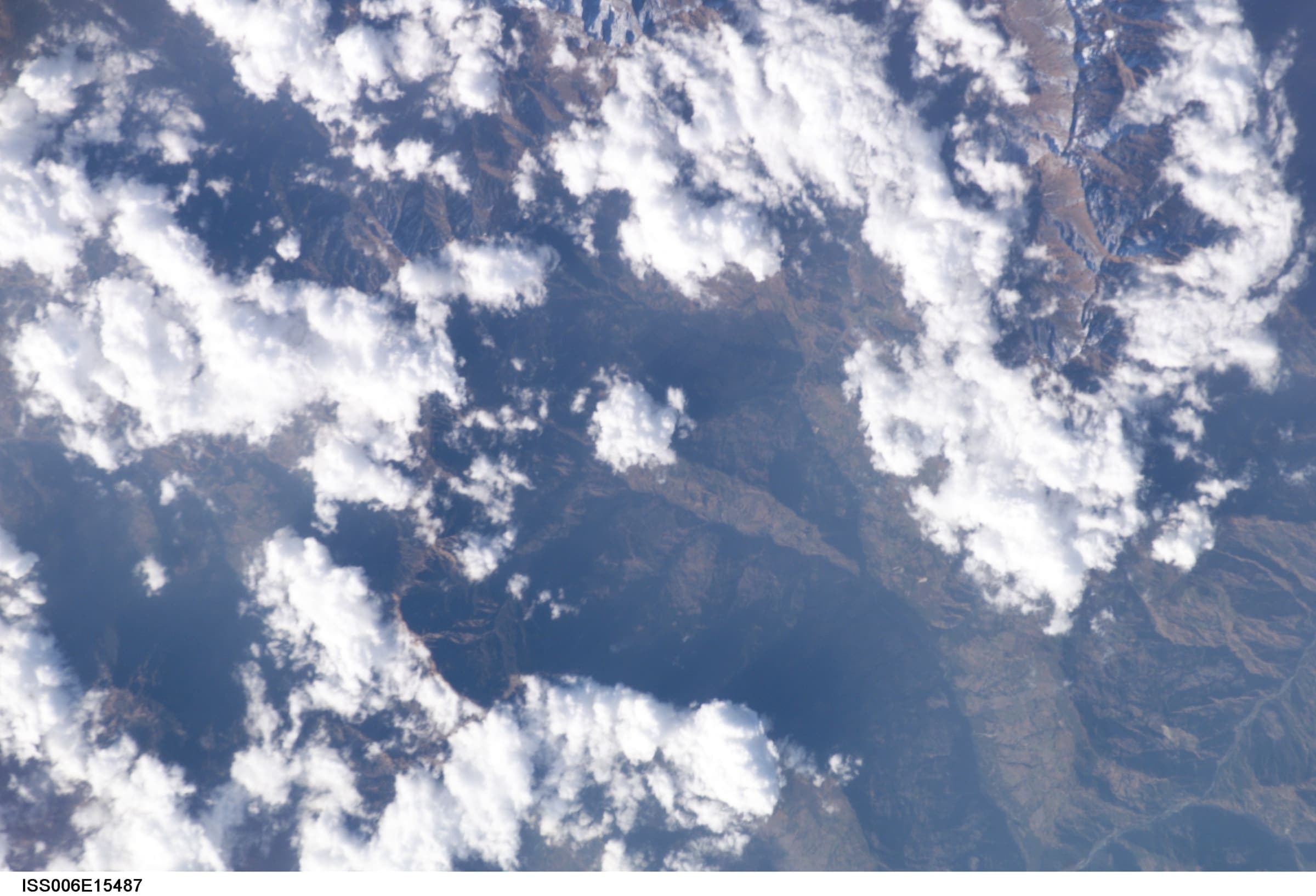
OSM sac_scale: mountain_hiking · SAC T2 · YDS 1
Pindari Glacier
OSM hiking route Kathi to Pindari Glacier, Uttarakhand (20.52 km line). OSM 20.52 km vs KMVN 90 km round-trip — record the OSM line, note the mismatch. Vertical figures from the Wave I-1 GLO-30 resample. Days unknown.
20.52 km · 2 days
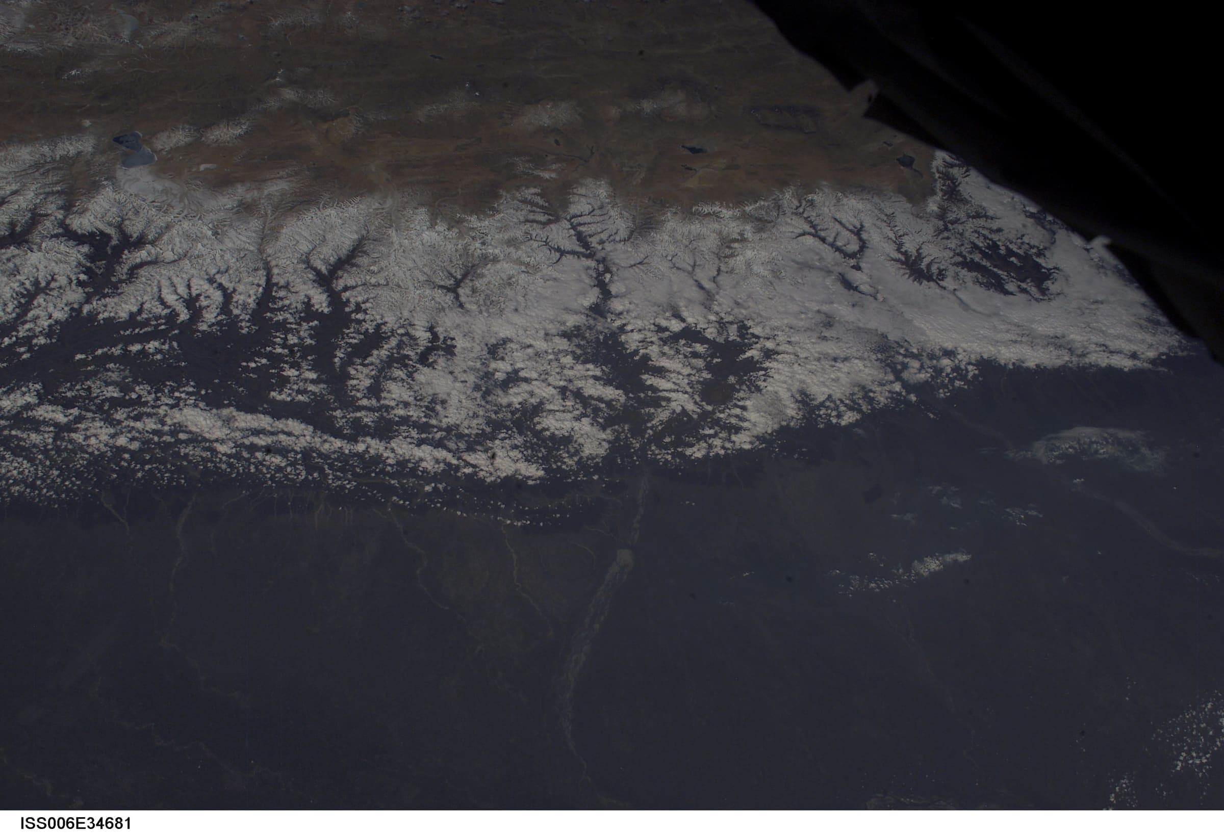
SAC T2 (mapped — no official SAC grade) · YDS 1
Rali to Patwariyan
OSM hiking segment Rali to Patwariyan, Uttarakhand (32.58 km line). Village-to-village path; no cited itinerary. Vertical figures from the Wave I-1 GLO-30 resample. Days unknown.
32.58 km · 3 days
SAC T2 (mapped — no official SAC grade) · YDS 1
Roopkund
OSM hiking route Lohajung to Roopkund, Uttarakhand (27.13 km line). Kanol approach 12297059 is absorbed on this page, not merged into the line. Geometry stops below the lake. Vertical figures from the Wave I-1 GLO-30 resample. Days unknown.
27.13 km · 2 days
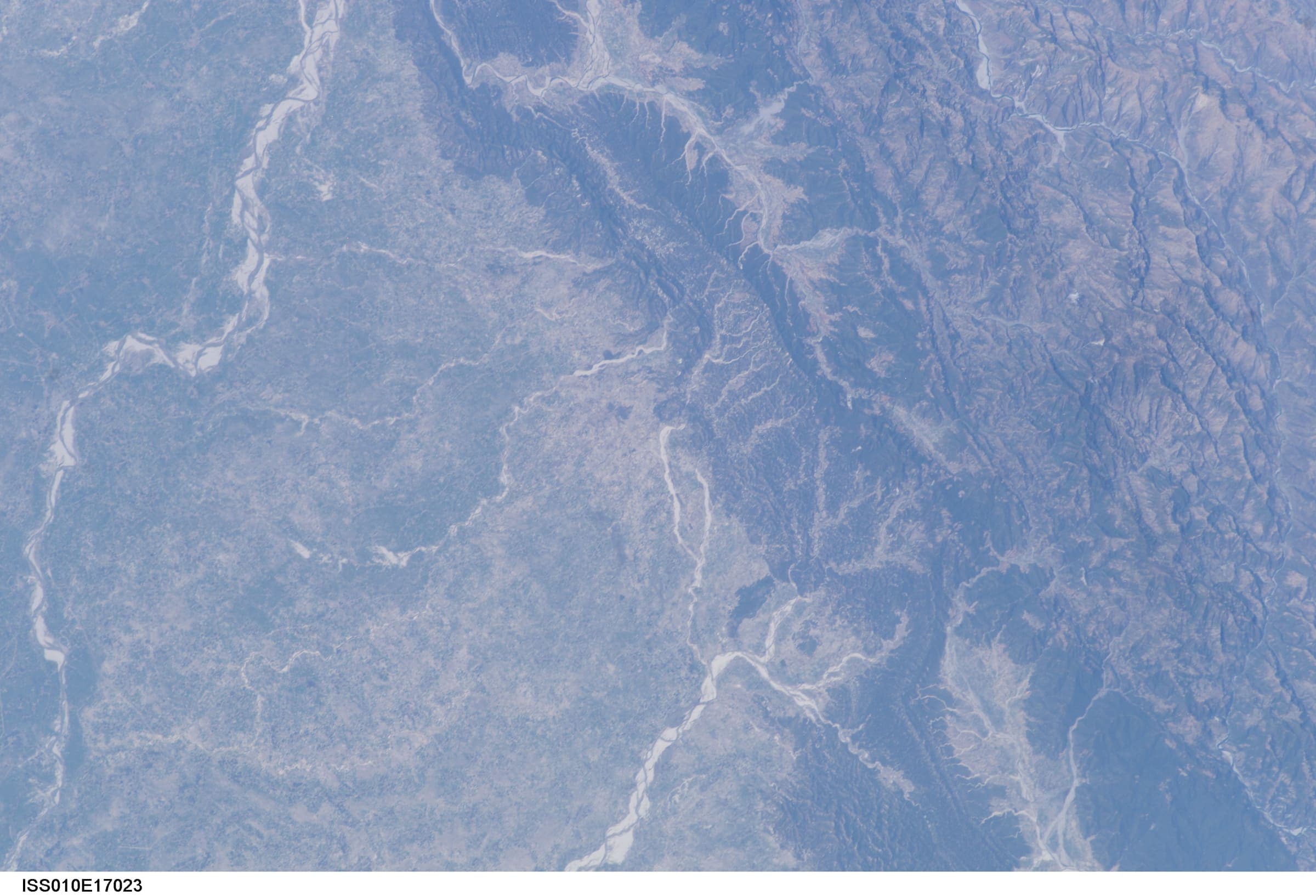
SAC T2 (mapped — no official SAC grade) · YDS 1
Taluka to Hanuman Chatti
OSM hiking segment Taluka to Hanuman Chatti, Uttarakhand (32.96 km line). Village-to-village path; no cited itinerary. Vertical figures from the Wave I-1 GLO-30 resample. Days unknown.
32.96 km · 3 days
SAC T2 (mapped — no official SAC grade) · YDS 1
Thalisain to Gairsain
OSM hiking segment Thalisain to Gairsain, Uttarakhand (32.91 km line). Village-to-village path; no cited itinerary. Vertical figures from the Wave I-1 GLO-30 resample. Days unknown.
32.91 km · 3 days