
Filter · stored fields only
T2 hikes in Himachal Pradesh
1 day. permit-free. SAC is the grade on the record. Duration is typicalDays. Permit-free means permit.required is false on this desk — not a promise that no local fee exists.
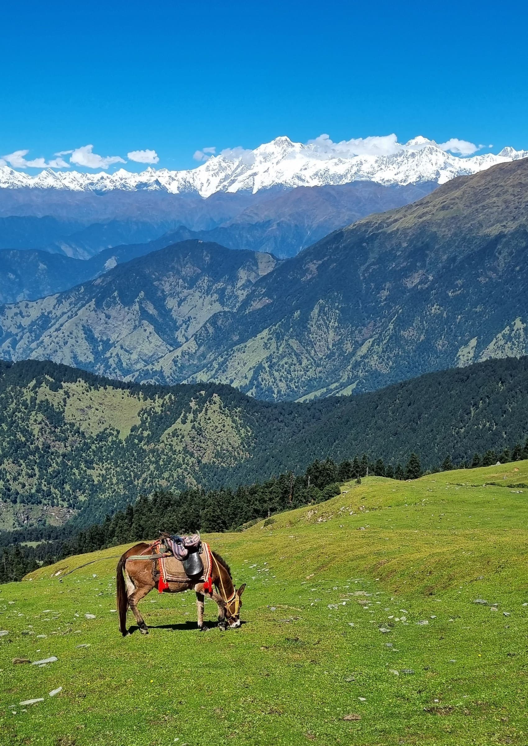
SAC T2 (mapped — no official SAC grade) · YDS 1
Beas Kund
OSM hiking route Beas Kund, Himachal Pradesh (5.34 km line). Circuit 12855978 absorbed; Friendship Peak related, not merged. DEM high is the walked line, not the Beas River landmark. Vertical figures from the Wave I-2 GLO-30 resample. Days unknown.
5.34 km · 1 days
SAC T2 (mapped — no official SAC grade) · YDS 1
Bhrigu Lake
OSM hiking route Bhrigu Lake, Himachal Pradesh (8.29 km line), canonical Vashisht relation. Gullaba and Vashist approaches are absorbed on this page, not merged into the line. Vertical figures from the Wave I-2 GLO-30 resample. Days unknown.
8.29 km · 1 days
OSM sac_scale: mountain_hiking (max demanding_mountain_hiking) · SAC T2–T3 · YDS 1
Chandrakhani Pass
OSM hiking route Chandrakhani Pass, Himachal Pradesh (14.32 km line). Vertical figures from the Wave I-2 GLO-30 resample. Days unknown.
14.32 km · 1 days
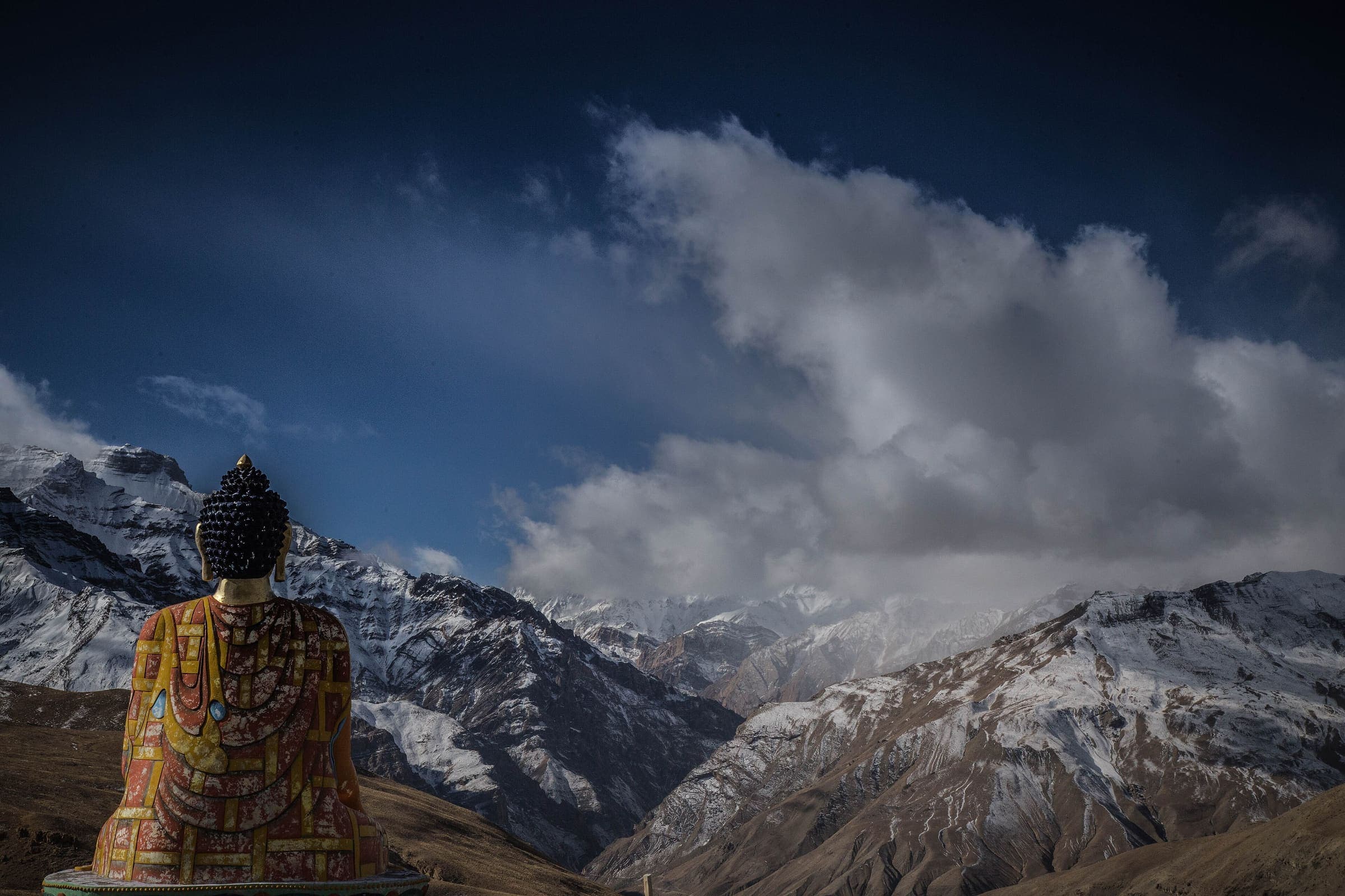
OSM sac_scale: mountain_hiking · SAC T2 · YDS 1
Kareri Lake
OSM hiking route Kareri Lake, Himachal Pradesh (6.04 km line). Eight approaches absorbed. OSM km vs Wikipedia 13 km (round-trip/other trailhead). Vertical figures from the Wave I-2 GLO-30 resample. Days unknown.
6.04 km · 1 days
SAC T2 (mapped — no official SAC grade) · YDS 1
Prashar Lake
OSM hiking loop Prashar Lake, Himachal Pradesh (12.29 km). Not relation 17953469 (road corridor). Vertical figures from the Wave I-2 GLO-30 resample. Days unknown.
12.29 km · 1 days
OSM sac_scale: mountain_hiking (max demanding_mountain_hiking) · SAC T2–T3 · YDS 1
Triund
OSM hiking route Triund, Himachal Pradesh (10.08 km line), canonical Kandi relation. Galu Devi approach absorbed. Line extends above the meadow. Vertical figures from the Wave I-2 GLO-30 resample. Days unknown.
10.08 km · 1 days