
Filter · stored fields only
T2 hikes in Annapurna
4–8 days. permit recorded as required. SAC is the grade on the record. Duration is typicalDays. Permit-free means permit.required is false on this desk — not a promise that no local fee exists.
SAC T2 (mapped — no official SAC grade) · YDS 1
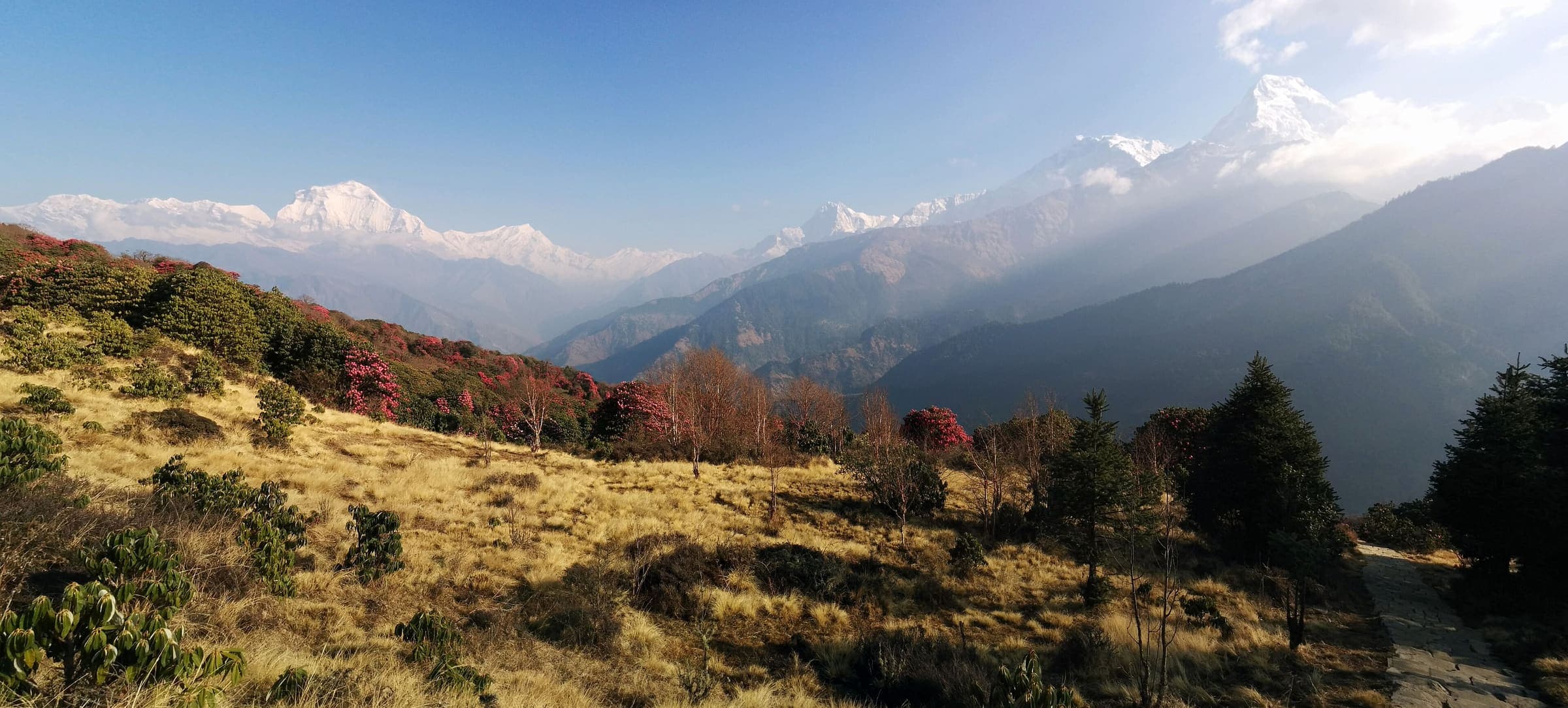
Ghorepani Poon Hill
Curated schematic — not walking distance. Pin-to-pin OSM named-waypoint loop Nayapul → Ghorepani → Poon Hill → Ghandruk → Nayapul. Cited itinerary ~45 km (provisional, secondary). Permits are the headline (official NTNC/NTB 2026-09-21). High 3,210 m is the Poon Hill landmark.
45 km · 4 days
SAC T2 · YDS 1
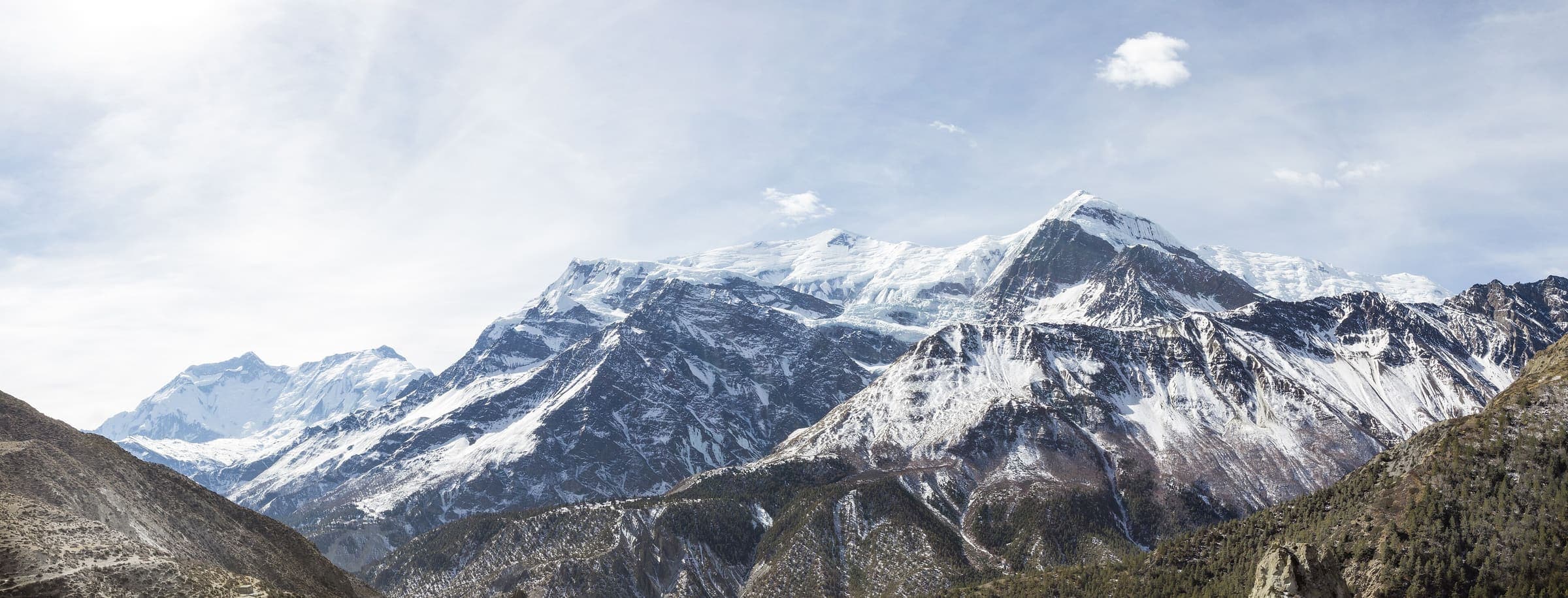
Naar to Tange
OSM hiking route in the Annapurna region (52 km line). Vertical figures sampled from Copernicus GLO-30.
52 km · 4 days
SAC T2 · YDS 1
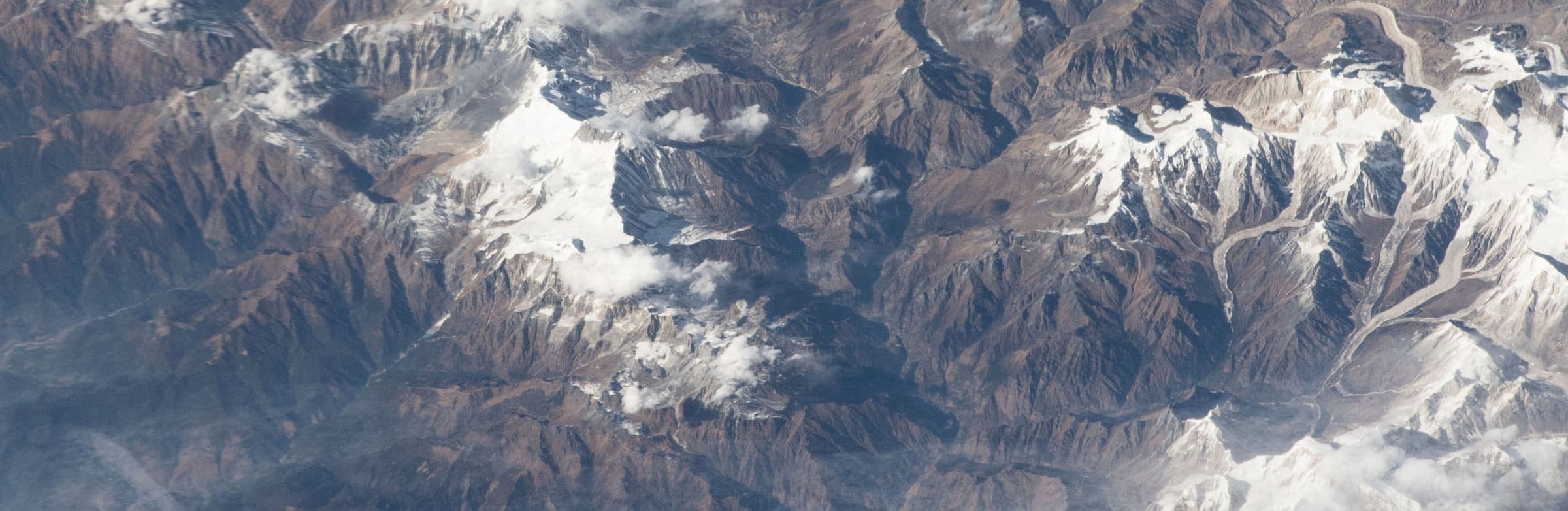
Naar-Phu trek
OSM hiking route in the Annapurna region (69.8 km line). Vertical figures sampled from Copernicus GLO-30.
64.26 km · 6 days
SAC T2 · YDS 1
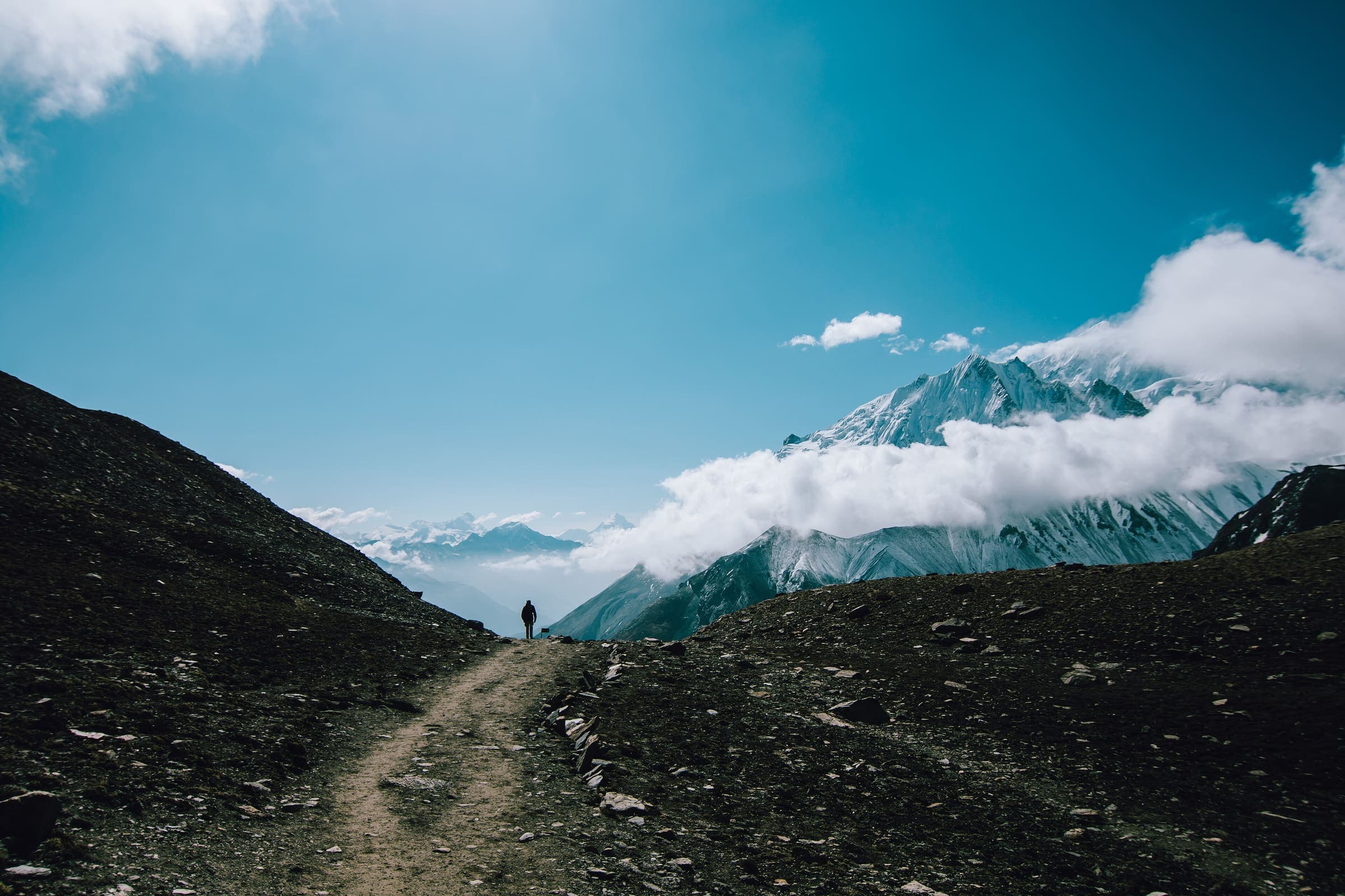
Tilicho Trek
OSM hiking route in the Annapurna region (64.5 km line). Vertical figures sampled from Copernicus GLO-30.
64.5 km · 5 days